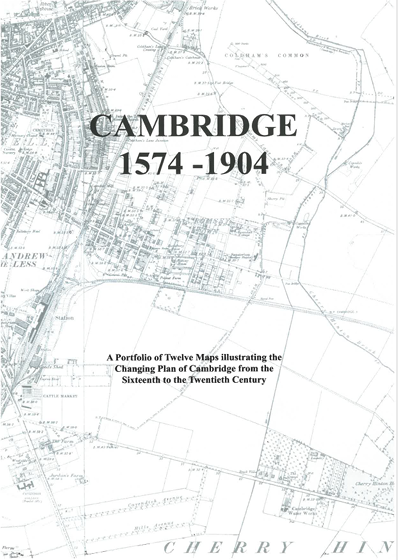
26. Cambridge 1574-1904. A Portfolio of Twelve Maps Illustrating the Changing Plan of Cambridge from the sixteenth to the early twentieth century. Edited by Elizabeth Stazicker.
£12.50
An invaluable reference compilation for all students of Cambridge history.
Contents: 12 black and white maps (16 A3 sheets folded + 2 x A4 sheets) ; Booklet: 30 pages A5 ; in card folder (12 ins. tall).
ISBN: 978-0-904323-28-3
Published: 2021
First published as a Cambridgeshire Records Society ‘additional publication’, edited by Tony Baggs and Peter Bryan, in 2002, and reprinted with slight revision in 2012.
Now, reformatted, and substantially revised, with additional cartographic information, in 2020, edited by Elizabeth Stazicker.
In 1921 J.W. Clark and A. Gray published Old Plans of Cambridge accompanied by a portfolio of maps from 1574 – 1798, but this has long been out of print. This portfolio, makes available new copies of most of the original plans and has updated the sequence to the twentieth century. They are intended to show how the city has grown since the first known map of 1574.
The portfolio contains black and white copies of the following Cambridge maps:
Map 1. Richard Lyne 1574
Map 2. George Braun 1575
Map 3. William Smith 1588
Map 4. John Hamond 1592
Map 5. John Speed 1610
Map 6A and 6B. David Loggan 1688
Map 7. Thurlbourn & Woodyer 1763
Map 8. William Custance 1798
Map 9. Dewhurst and Nichols 1840
Map 10 A and B. W. P. Spalding 1881
Map 11 A and B. The Ordnance Survey 1886
Map 12 A and B. The Ordnance Survey 1901
Booklet introducing the maps.
Stazicker, Elizabeth
Elizabeth Stazicker is Archivist at Ely Cathedral & The King’s School and a former Cambridgeshire County Archivist.